The Venue
Polhawn Fort
Directions
If using satnav, please don't use the postcode for the fort, use 'Military Road, Rame' as your destination instead.
If not, I seriously advise printing the below directions!!
Crossing on the Torpoint Ferry from Plymouth
Follow the signs towards the city centre in Plymouth until you start finding signs to Torpoint and the A374. Follow these signs to the Torpoint Chain Ferry (24 hours, crossing time @ 7 - 8 minutes, queuing time 0 - 60 minutes, worst in rush hours). On the other side, in Torpoint itself, stay on the A374 to the Village of Antony. Branch to the left, signposted Millbrook B3247 (and other destinations), leaving the Ring O’Bells pub on your right. Follow the instructions from Antony as below:
Going by road avoiding the Torpoint Ferry
Continue past Plymouth on the A38, cross the Tamar bridge into Cornwall, and stay on the A38 for Liskeard until the Trerulefoot Roundabout. Turn left onto the A374 for Torpoint and continue through Polbathic to Antony. Turn very sharp right onto the B3247 to Millbrook (this involves going round the Ring O’Bells pub).
From Anthony
Go up through Antony into the countryside till you reach a T-junction.
Turn left, sign-posted Millbrook B3247. Go past the entrance to Tregantle Fort (MOD) and within two hundred yards turn right onto the coast road, sign-posted “Whitsand Bay, Freathy Cliff, Treganhawk Cliff" Don't miss the turning, if you do and find yourself in Millbrook, it is best to turn round and come back, rather than trying to make your way through. *
Follow the coast road for 3.3 miles (useful to know when it’s dark or misty) from the Whitsand Bay turning, and at the point that the road leaves the coast and bends round and down to the left (towards Cawsand and Kingsand) you will see the entrance to our drive on the right. Follow the drive down for half a mile till you reach the Fort.
***
* People quite regularly do miss this turning, and they end up by approaching the Fort having passed through Millbrook, and after passing by the villages of Kingsand and Cawsand. If this happens, you should avoid turning left at a small grass triangle, where it is signposted to Rame (& comes to a dead end past the church at the coast guard station). Continue on the main road past this turning up the hill till you reach the top, where you will see the Fort drive entrance and sign directly in front of you

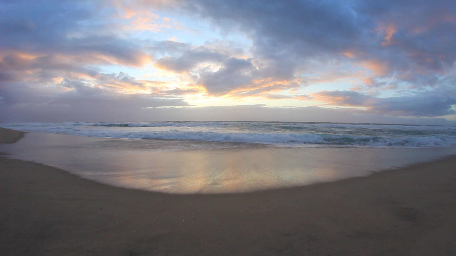
Polhawn, a real Napoleonic Fort, complete with draw bridge, 8 feet thick walls and canons will be the venue for both our wedding ceremony and reception. It has a relatively steep winding path (bottom left of the picture) that takes you down to a small beach, perfect for paddling. So be sure to bring your flip flops and swim suit, especially for the Sunday!
